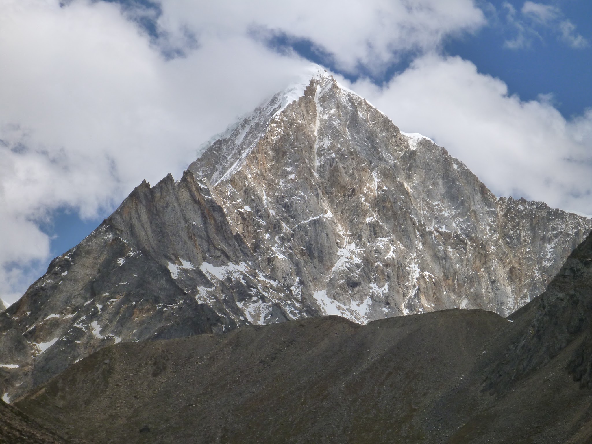
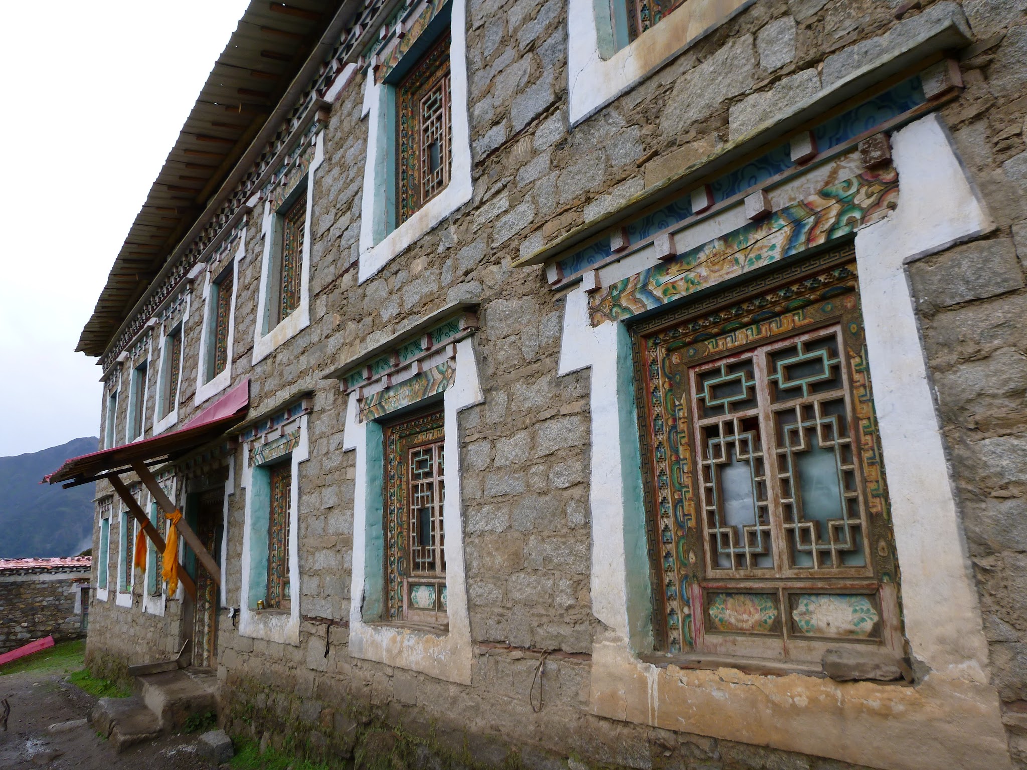
After Chengdu, we headed west into the wild Kham Tibetan region of western Sichuan. Although the roads here have been improved in recent years, the terrain is still much more rugged than the other places we have visited in China. Bus rides are often twice the time commonly quoted, with public transport a mishmash of bus service and crammed private vans.

Our first stop was in a town called Kangding - about eight hours by bus west of Chengdu. The town itself is nothing special - it is a typical "in-transition" Chinese town with construction projects everywhere. Located at the bottom of a steep sided valley surrounded by tall-ish mountains, the place would be beautiful EXCEPT for the huge high-voltage power lines running right across the flank of the surrounding mountains. It might sound like nothing, but these towers are HUGE and a big eyesore - maybe I have never payed close attention before, but they look to be the biggest power line towers I have ever seen (everything in China is always built super-size). Unfortunately, this seems to be a common theme here in China, where preserving the beautiful countryside seems to take a back seat to massive infrastructure projects. From what I could tell from the bus ride, all of the major rivers in this area are dammed with power stations, with several more in construction. It was almost surreal to see some of these huge valleys flooded, with chinese village ghost towns scattered along the shores of these newly created lakes.


Despite not being the most aesthetic of towns, Kangding still turned out to be a great base for a few days to plan treks into the surrounding mountains. We stayed at the Zhilam hostel in Kangding and spent a great deal of time talking with Kris (the owner, originally from Colorado) and Patru (a local Tibetan working at the hostel). Our goal was to get off the beaten track into some of the remote countryside - once they heard what we were looking for, they immediately suggested a four day trek along the southwest side of Gonga Shan. According to Kris, this was the most beautiful valley he had ever trekked through in all his travels around the world. Just south of town is the Gonga Shan massif - one of the highest mountains outside of the Himalayas, its summit is just over 7500m and towers over the surrounding countryside. Most importantly, it is still very remote with no road access (get here soon! Apparently, a national park is planned for the area, which means cable cars, electric trams and busloads of chinese tour groups coming soon!). Normally the hostel organizes a guide, with horses to carry gear, but the cost of this option seemed a bit expensive. Having lots of experience in the mountains, we instead opted to trek the entire trip ourselves as the hostel rented out all the camping gear we needed. Kris even gave us a ride to the local market on the back of his motorcycle, where we picked up some supplies for our trip.


The next day we hired a car to take us the one hour drive to the trailhead, and also to pick us up at the end of the trek, five days later. The cost to have the driver pick us up was actually the most expensive part of the trip, however, we soon realized why: the end of the trek is so remote that it takes about 6hrs to drive there, crossing several mountain passes on dirt roads at elevations of close to 5000m. In order to pick us up, the driver had to leave a day early to drive out to the trail end, where he would stay the night and meet us the next morning for the 6hr drive back to Kangding.
For our first day on the trail we had decent enough weather, with clouds blowing in and out. Every now and then we got great views of peaks that seemed to reach the sky. Flowers were in bloom everywhere in the valley, carpeting the flanks of the surrounding mountains in deep purple.
Since we only had a hand drawn map of the area and trail, we struggled a few times to find our way - especially since the map was wrong about 50% of the time and not at all to scale. Most of the time we would just keep walking until we came across a local Tibetan farmer who we could ask for directions. The only people we saw on the trail were the local nomadic families with their herds of yaks grazing in the surrounding grasslands, but all were always happy to help. With a lot of sign language, and frantic gesturing we always got the jist of what they were saying.
We were very happy to see that an effort was being made to keep the place garbage free...
 |
| Camp one! |
The second day was the crux of the trip where we had to climb up and over a 5000m pass - the problem was that the only route through the surrounding 6000m+ peaks was completely clagged in, making the trail impossible to see from where we were camped. Luckily, after waiting a few hours the clouds began to break up a bit, and we decided to give it a try. We still couldn't see the pass, but at least we could orient ourselves and set out in the right direction. Eventually we found the trail, and followed it as best we could, finally reaching a cleft in the ridge that surrounded the entire valley. From here the views were spectacular. Even though we only got glimpses of the mountains due to the cloud cover, it was still pretty amazing to see monster 6000m peaks poking out among the swirling clouds blowing in and out. We never got a complete view of the whole panorama, but we still saw enough to drop our jaws a few times.


After descending the pass, the clouds really came in along with rumbling thunder and lightning. A little bit soggy, we eventually reached our second camp by the Mo Shi Gou river.
Our third day we trekked the rest of the way to our last stop, the Gonga Shan Monastery. For the next two nights we stayed at a temple way up in the mountains with no one around except the local contingent of monks. Gonga Shan is another sacred mountain to Buddhists, and this temple has been around for more than 700 years drawing pilgrims from all over Asia. Luckily, shortly after arriving at the temple, the clouds began to lift and before us across the valley we could finally see Gonga Shan mountain. The front door of the monastery directly faces a huge valley, choked with debris from the glaciers spilling from all sides of the mountain.
 |
| First we got to this sign.... |
 |
| Then we noticed the big arrow! |
 |
| Gonga Shan |
The place reminded us a lot like the teahouses in Nepal. The rooms were pretty rustic: walls made of clay and stones, the roof a thatch-work of tin, branches, leaves?, and logs.
 |
| Making dinner on a wood stove |
I even did a bit of troubleshooting of the monastery's solar power system. As soon as the head monk saw us walk in, he ushered me to the electrical room where everything was written in .... ENGLISH! - finally I could actually understand something. After a bit of poking around, some sparks and short circuits, we figured out what the problem was...
We got some good weather the second day so we decided to do a bit of hiking in the area. We headed up the ridge behind the monastery, and were treated to some amazing views of the valley.
 |
| One of our hosts, with Russian military binoculars! |
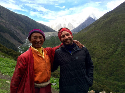 |
| This guy was awesome! |
There was even a local Tibetan antelope at the monestary! Apparently, there are not many left in China and on the endangered species list. This one seemed to make the monestary grounds its home, however, was not too friendly to women - it would literally chase Marie around the monestary grounds trying to head-butt her whenever it got a chance. At one point, it wouldn't even let her back inside as it stood its ground in the doorway. I was dying of laughter watching Marie try to get back inside, branch in hand, trying to wack the antelope into submission. In the end, Marie lost the battle and I had to come to her rescue.
 |
| Using his special powers to control the beast... |
 |
| Marie took this picture, as she was trying to get back in! |
After two nights in the Monestary we hiked about three hours to the local village of Zi Me where our driver was waiting to pick us up. Again, we had a bit of trouble finding our way since the map was wrong and the path forked mid-way down the trail (also not on the map). Fortunately, the Tibetan antelope actually accompanied us on our trek from the monastery - we started to call him our "Spirit Guide". When he took the upper path, we decided to follow! Eventually we made it to the bridge just before the village where our Spirit Guide was apparently too scared to cross the river. We said our goodbyes to our antelope friend, and crossed the river to reach the village beyond.


Once we reached the road, we of course took a left instead of a right turn, and walked for about an hour in the wrong direction before we met some local Tibetans driving up the dusty road in a small van. They had a good laugh at us, and gestured that our driver (and the village) was actually the other direction. They told us to get in the car, and were nice enough to drive us up the correct direction to the small town of Zi Me (a collection of about 3 farm houses).
The six hour drive back to Kangding turned out to be quite an adventure, crossing several mountain passes and travelling through some beautiful small Tibetan villages.
Click here for more photos!